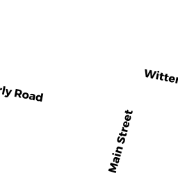
18 NANCY DR
Owner Information
LOONEY RAYMOND F JR
18 NANCY DR
AUBURN, MA 01501


Property Details
18 NANCY DR is classified as a Single Family Residential (Raised ranch).
The primary structure on this property was built in 1972. There are 2,294ft2 of built area within this property. There is 1,064ft2 of residential/living space within this property. This property is listed as having 6 rooms.
18 NANCY DR is valued at $259,000. The land is valued at $99,600 and the structures are valued at $159,400.
This property is in Zone RA. Confirm with local Zoning Board authorities to ensure there are no overlays or other easements on this property.
The most recent deed for 18 NANCY DR is recorded at the local registrar in Book 05260, Page 0348. 18 NANCY DR was last sold on Tuesday, September 12, 1972 for $0.
Assessment data from fiscal year 2022.
Flood Data
This property is partially within the AE Zone (within floodplain). Approximately 0.96 acres (58.65%) of the property is within this zone.
This information is sourced from the FEMA National Flood Hazard Layer. See our full disclamer.
Broadband Internet Providers
| Provider | Type | Bandwidth (mbps) | |
|---|---|---|---|
| T-Mobile | Fixed Wireless | 25 | 3 |
| GCI Communication Corp. | Satellite | 0 | 0 |
| HughesNet | Satellite | 25 | 3 |
| VSAT Systems, LLC. | Satellite | 2 | 1 |
| Charter Communications Inc | Cable | 940 | 35 |
| Verizon New England Inc. | DSL | 5 | 0 |
| Viasat Inc | Satellite | 100 | 3 |
Broadband service provider data from December 2020.
Adjacent Properties
- 5 MAIN ST
Accessory Land with Improvement owned by J RUSS CORP - 16 NANCY DR
Single Family Residential owned by HACHEY AUDRA M - 20 NANCY DR
Single Family Residential owned by FAIRBANKS RICHARD H - 49 ROCKLAND RD
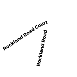
Undevelopable Residential Land owned by J RUSS CORP - ROCKLAND RD CT
Electric Transmission Right-of-Way owned by NEW ENGLAND POWER CO